The landscape of Deia is bounded by the mountains behind and the sea in front. Between the two, the land steps up through an intricate series of terraces. The position of the village below the mountains and its aspect facing north makes this part of Mallorca very different from the rest of the island.
The most abiding characteristic of the village and surrounds is how everything built follows the contours of the landscape. The houses and roads wind around the landscape, and the agricultural system of terraces wends around the hillsides.Where this is not evident, it is because pine trees have been allowed to grow and mask the careful grading of the steep hillsides.
The Terracing
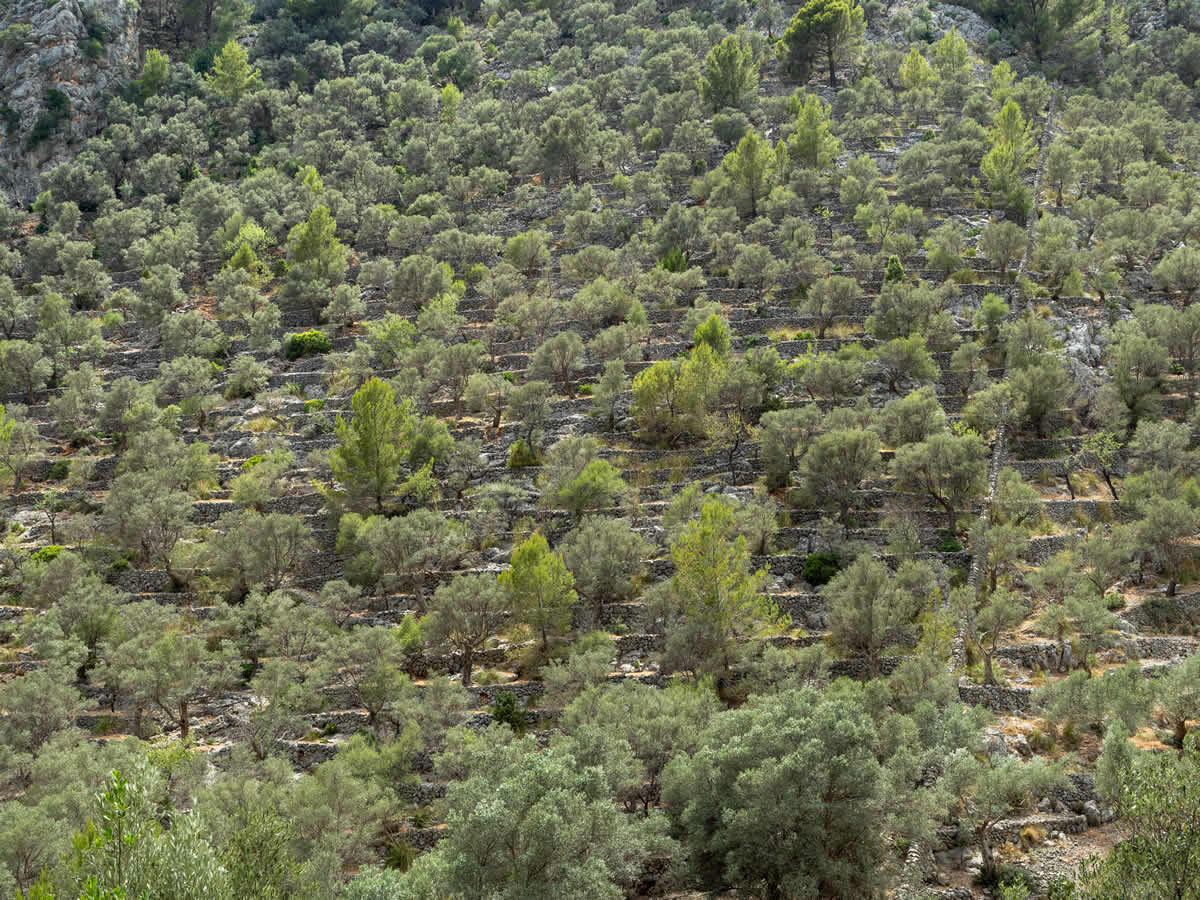
The terraced slopes of Deia date back to the first Moorish settlement in Mallorca between the 10th to 13th century. At that time, the moors would probably have built in the areas where irrigation was possible and used the terraces to enable better irrigation. Although locals will tell you that the terraces are all Moorish, in fact only the terraces around streams and springs would have been built then.
It was probably at the beginning of the 19th century that the wholesale terracing of the slopes really commenced. Probably between the 13th to 19th centuries, the terraces would have extending generation on generation, but it was the combination of new crops and population pressure that required ever greater use of the land.
However, the moors would have played a role in the intervening years. After the ceding of sovereignty back to the Christians, the moors were expelled from the good land and would have been forced to find ways to cultivate more marginal plots. That would have required new techniques and skills. Those skills were put to good use in the 19th century when terraces marched all the way from the sea to the edges of the steepest mountain slopes where oaks grew that were coppiced for charcoal.
The terraces make use of the most abundant natural resource to hand – the stones to create this distinctive pedra en sec buildings – dry stone walls and buildings. In a sense, the terrace wall is the most magnificent example of this building style. If you travel to the top of the farmed land,you will find strange charcoal kilns. Likewise, the abundance of limestone in the mountains means you can also see lime kilns. Rarest of all are the ice houses where snow was stored for warmer seasons. The men must have had to work fast to collect the snow and carry to the snow houses for storage.
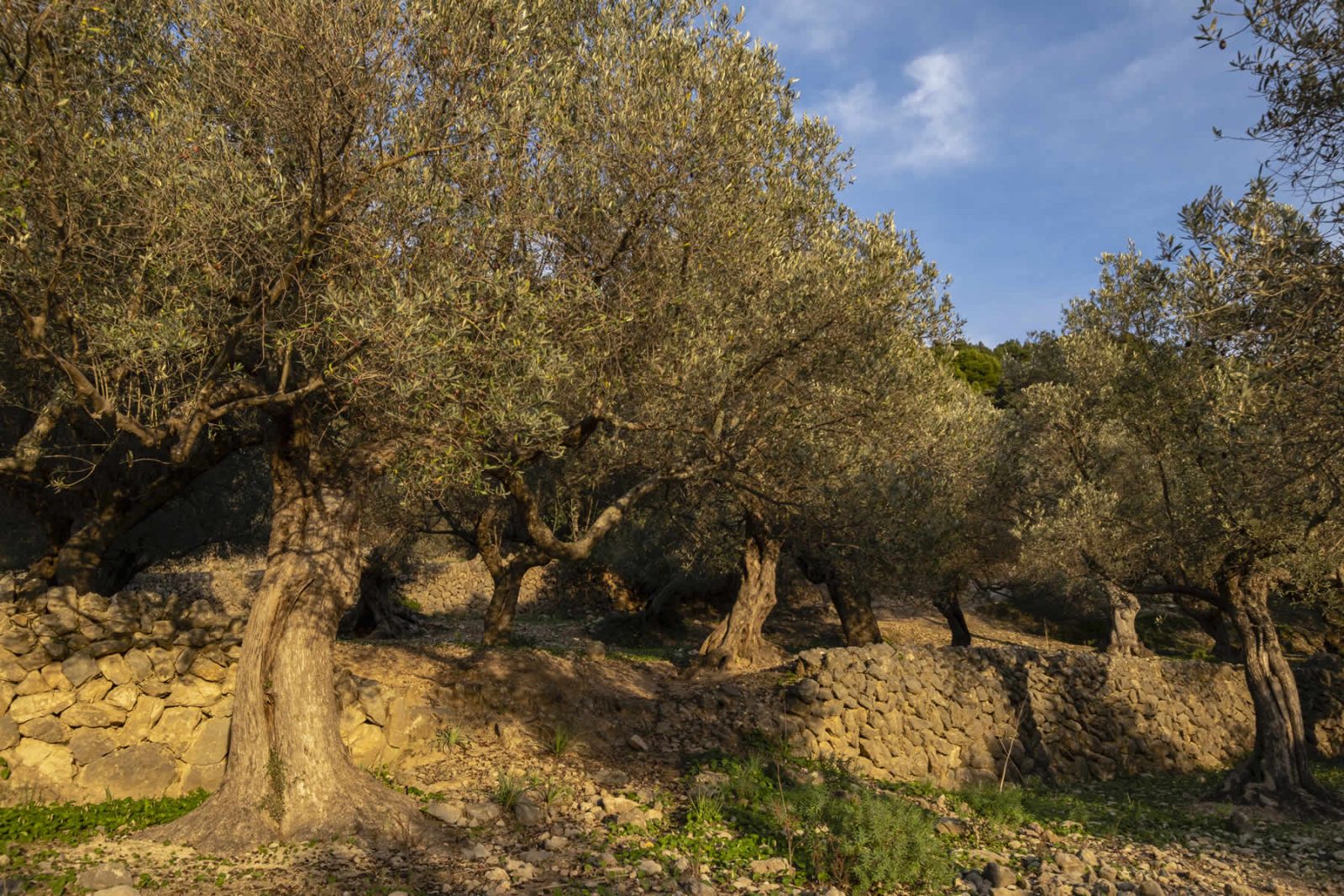
Terracing reduces soil erosion and allows both the planting and harvesting of crops that could not be managed on steep slopes. In the 19th century, the most important crop around Deia were grape vines for wine. Mallorca was a huge wine producing region that was stimulated by the failure of the wine regions in France owing to disease. Once upon a time the terraces below Magda would have been given over to vines. The expected profitability of wine led to much speculative investment in the land with new terraces being constructed to hold rows. After 1892 when filoxera hit Mallorca, wiping out the vines, much of the island planted almond or carob trees. On the slopes around Deia, there are no vines today, but many ancient Olive groves and carob. The other two crops that suit the region are lemons and oranges. Soller down the coast is famous for its oranges, but in the spring, you will see many orange and lemon trees around the village. Today, the prices for the fruits is so low, that most are allowed to drop onto the ground below.
The Tramuntana Mountains
Named after the Tramontane wind (which translates as across the mountains), The Serra de Tramuntana runs along the length of the northern shore of Mallorca. Although they are comparatively not high mountains, they are steep and very dramatic with sharp precipitous and narrow valleys. The sheer steapness of the mountains made them marginal in the economy of the island. However, the locals would shepherd sheep and goats at the mountain tops over the winter and then collect them and bring them down for market. If you walk along the top ridges, you will see stone walls used to coral the sheep.
The Tramuntana are composed of dolomite and limestone from the Mesozoic and Cenozoic (about 170 million to 10 million years ago). Mallorca is bounded by two parallel mountain chains on its northern and southern coasts. Moving southwest to northeast, these mountains arose at some time in the Miocene (20 million to 13 million years ago) as part of the African continent’s collision with Europe. The folded and upthrusting ranges are now separated by a younger low-lying valley formed by the faulting and thrusting around it. The valley is now filled with eroded sediments, to become a productive agricultural plain.
The higher of these two mountain ranges is the Serra de Tramuntana. Today, what used to be coral reefs have eroded into sharp remnants along the range’s la Ruta de Pedra en Sec which is a series of connected walking trails, known as the Dry Rock Route or route GR-221, that runs 150 kilometers over this range. The GR221 runs right below and above Magda – some follow the mountain track and some the dramatic coastal route towards Soller.
Water, Water everywhere…
If the stone thrusting up forms the mountains, the torrents of the winter months carving through the limestone shapes them. The sharpness of these mountains is the result of water. It carves steep ravines and sudden valleys.
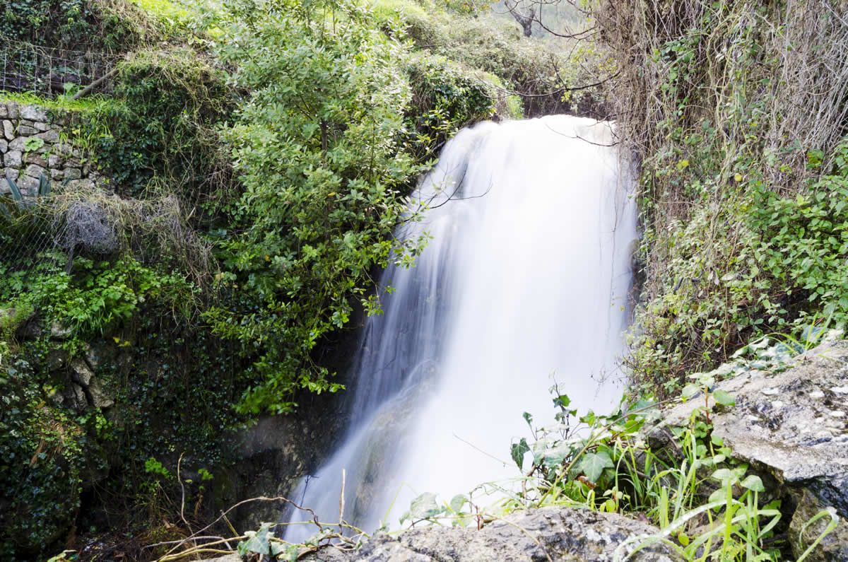
Water is also the lifeblood of agriculture and has resulted in careful channeling to make best use of the terraces. You have to go to Banyulbufar to see this in its full splendor. However, even in Deia, you can trace the careful management of the water along the walls of the road in the Clot. The washing basins and even the little water channel half way up the walls at the side of the road

